
MoPac East Trail
Click here for more information on the MoPac East Connector Trail
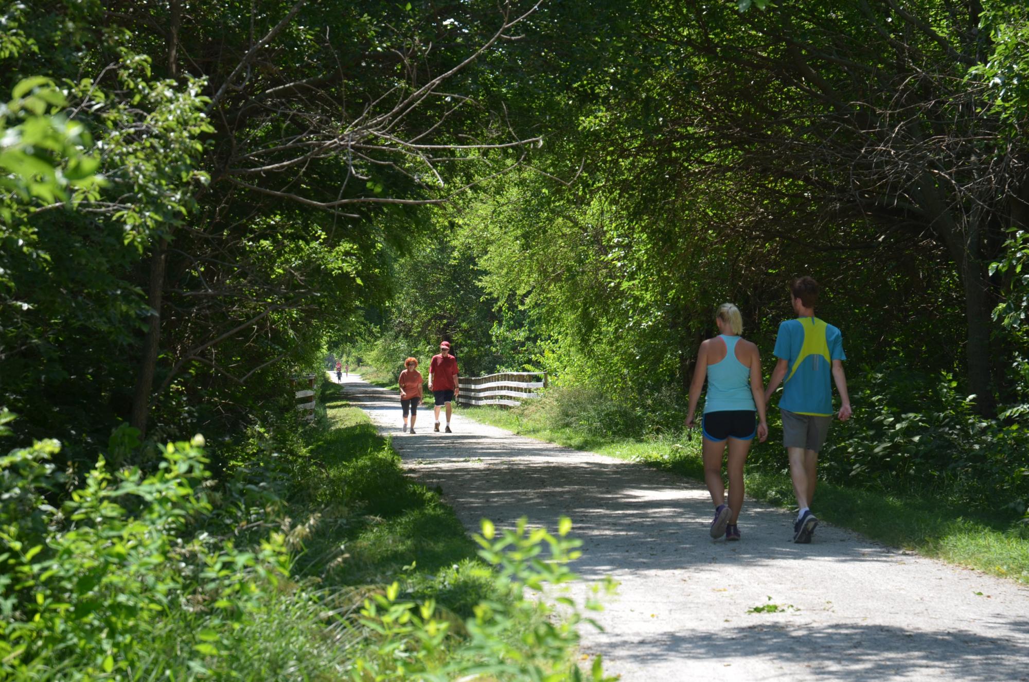
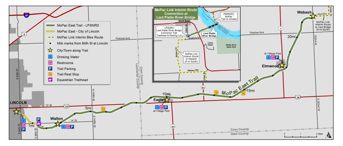
The MoPac East Recreational Trail is a 22-mile crushed limestone trail offering year-round recreation for hikers, joggers, bicyclists, horseback riders, cross country skiers and wildlife watchers. The trail also serves as an environmental education and public awareness tool. The MoPac features a blend of hometown, woodland and agricultural scenery along a former Missouri Pacific Railroad corridor. The rail line was active until 1984, when heavy rains destroyed a portion of track near Elmwood. The Nebraska Trails Foundation and the Great Plains Trails Network raised the funds to purchase the trail property. The property was then deeded to the Lower Platte South NRD on July 3, 1991, and the MoPac East Recreational Trail was born.
The MoPac East Trail connects to the MoPac Trail in Lincoln near 84th & “O” streets, linking it to the more than 130-mile city trail network. The trail is completed from Lincoln to Wabash, a distance of 22 miles. Eventually it will reach the Platte River Connection and Lied Platte River Bridge, a bridge over the Platte River at South Bend, with connections to the Omaha trail network.
The corridor also hosts the natural-surfaced Charles L. Warner Equestrian Trail. Plenty of trailer parking is provided at 98th & "A" streets, in Lincoln, and the equestrian trail extends from there to Wabash.
Quick Links
Planning a visit? Check out these helpful links.